

July 4th/5th -- Japan/Texas -- Disasters and Predictions of Disasters
Flash Flood in Texas -- comments on Ukraine, Israel, Taiwan, Japan
05 July 2025
Nagoya, Japan
Mind-dump, sans edit
Flash flooding in Texas. Doc “Pete” Chambers will be reporting from the ground with the Centurion Team. We’ve been chatting this morning. Doc is running for Governor in Texas. As a Green Beret and Army surgeon, Doc has seen his share of disaster. Serious man.
After the first response phase is completed, we will be very interested to know if any water infrastructure has been removed uphill from the Texas disaster. Globalists have been removing infrastructure to flood-out and depopulate areas. We do not know if this occurred in this instance. But we must pay close attention to any changes in water infrastructure and weather modification employedas WMD.

The disaster may be a normal act of God. Due diligence is in order.
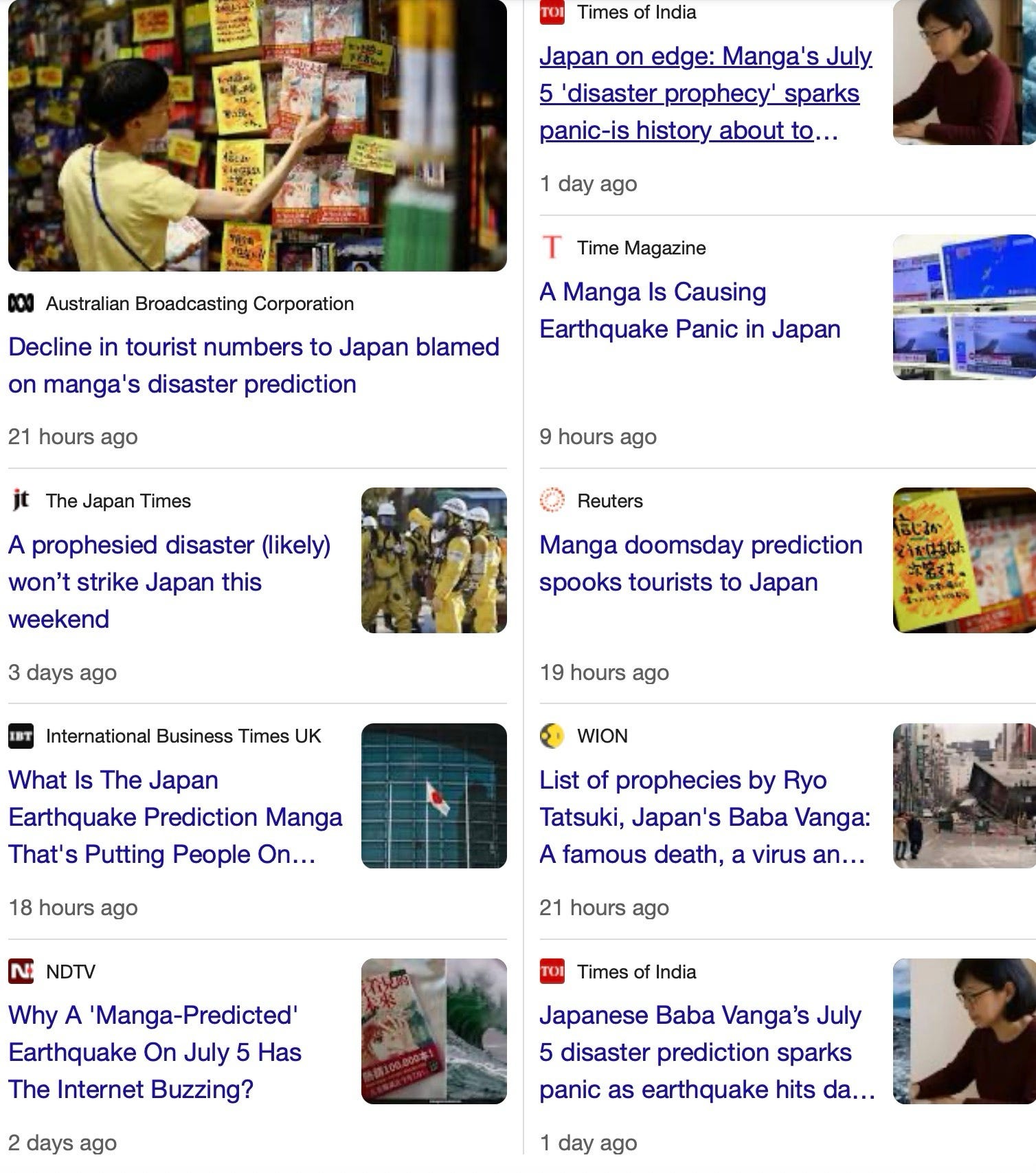
Here in Japan, another kook-scare is underway. Some Manga artist allegedly predicted disaster today, 05 July 2025.
SITREP: It’s almost noon here in Nagoya. We are still alive. Nothing has happened other than media being used to fuel the latest nonsense. But we have twelve-hours more to meet the death deadline, as it were.
The Beast distracts people from more serious matters. The Beast constantly unfolds the latest distraction. Some Junior Beast Officer in Beast Headquarters has the schedule and knows how to invest accordingly.
Risks to food supply are serious. Especially as the wars grow.

Ukraine is being smashed today. Russia is unfolding its largest attack since the war began.

Russia launched record number of drones at Ukraine after latest Trump-Putin call.
Please refer to anything I have written about Ukraine since the war started — and you will know what is happening. It’s coming true.
And now refer to my words on Israel. Israel is weak, arrogant, and will be lucky to survive.
And those people who still hunt shadows of Nazis may themselves be hunted down for decades for the clear genocides in Gaza. Also notice large numbers of American Christians are awakening that Israel is helping Genocide Christians in Armenia.
The Zionists and their allies who instigated and pushed and pulled Americans Afghanistan and Iraq. And lost those wars. They lost.
Iraq and Afghanistan have tremendous resources, are in key places, and along key routes. Those wars were GREAT GAME wars. And they lost. Dozens of allies came to those wars and we lost much blood and treasure. And face. Face is vital. The world senses weakness not strength.
And now Ukraine is being lost. The biggest attacks of the war is unfolding.
Israel’s survival is tenuous at best.
America must defend America and rebuild our economy. This will take many years. Decades. We must protect our base. Such as Panama Canal. Canada is being taken by China, India, and anyone else who wants to take it.
Ukraine is a heavy anchor on a short chain. Cut the chain.
Israel is:

America was far stronger and healthier before Israel was hatched in 1948. We don’t need Israel. At all.
Meanwhile. Taiwan is important for key manufacturing. And Taiwan NEVER was part of China. Ever. Not even for one day. But “everyone knows Taiwan was part of China.” The nebulous “everyone”. The vapor. Is wrong. Taiwan was never part of China.
And Cherokee are not Chinese. Chinese are working to persuade indigenous peoples across the Americas they are Chinese. Because China is working to take the Americas, and Japan. And a lot more.
We do need Japan. Japan is by far, our most important ally.
Masako and I now are in Japan. I have written three books about Chinese information war targeting Japan. Japan is on the menu. Chinese are buying up and moving in here, and in Panama, USA, Canada, Australia, Thailand…and more.
This is a big war. Americans must cut the helicopter sling from Zionists. Scorpion and the Frog.
Masako and I gotta go. I researcher will arrive in 30 mins to show us how fentanyl is coming through Nagoya to United States. Even Nagoya now has some zombies.
The post above was unedited. Thank you for your understanding.
—end—
Blast from the past:

Snail Mail:
Michael Yon, LLC
PO Box 66
Archer, FL 32618
The obscure we see eventually. The completely obvious, it seems, takes longer.
Edward R. Murrow

Snail Mail Support — Needed!
Michael Yon, LLC
PO Box 66
Archer, FL 32618
The hardest post I have had to write.

General Erik Kurilla is one of the most physically courageous and capable Soldiers I’ve ever know. Extremely smart. Extremely competent. Extremely aggressive.

I’m voting for Doc Chambers! I heard the Nimitz was supposedly headed to Straights of Hormuz but now may be going back to Indo Pacific.
I lived near Kerrville in 2008 and 2009 and learned about the extremes of the topography.
The ground is very hard in most places being filled with limestone boulder size down to Rip Rap size down to baseball size limestone of every kind. Construction is hampered by the cost of excavation and installation of all below ground infrastructure. Ask any land developer in the area.
The extremes of the hilly topography and surface limestone outcroppings everywhere make rainfall run-off very hazardous. Every year there are terrible stories of drowning victims caught by surprise in RAPID rising flood water that seems totally out of nowhere. It rises fast and goes down almost as fast.
However, in City of Kerrville there is Nimitz Lake and to South is Kerrville Lake. Both are elongated and controlled by dams built across the Guadalupe River. It looks like they are the only reservoirs in the region. So, with a torrential rain storm these two dams are most likely auto-programmed to begin releasing flood water to maintain the surface level of these two lakes. If not, the flood waters would go over the banks into City of Kerrville, but would not get very far out of the banks due to natural slope back into the Guadalupe River.
Google Map Link https://www.google.com/maps/@30.051495,-99.1588232,5966m/data=!3m1!1e3?entry=ttu&g_ep=EgoyMDI1MDYzMC4wIKXMDSoASAFQAw%3D%3D
Those two lakes would be where I would start to determine the downstream catastrophe. Maybe the Flood Water Release Rate needs to be recalculated to prevent the downstream nightmares that just happened. Same principle applies to the Three Gorges Dam in China, but on much larger scale.